Case Studies

Bureau of Reclamation Research and Development Office
Jsayre64, own work. CC-BY-SA-3.0, http://creativecommons.org/licenses/by-sa/3.0, via Wikimedia Commons
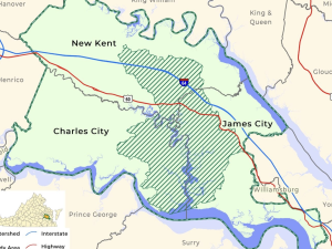
Image provided on NOAA Digital Coast website.
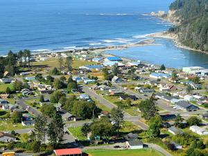
Larry Workman, Quinault Indian Nation. Used with permission.
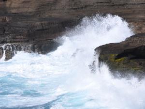
Waves crashing into basaltic rocks formed from lava flows on Hawai'i Island. Courtesy of pxhere.com

Ariel Léger/University of Arizona
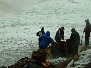
Millie Hawley, President, Native Village of Kivalina. Used with permission
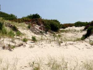
Famartin, own work. CC-BY-SA-3.0, http://creativecommons.org/licenses/by-sa/3.0, via Wikimedia Commons
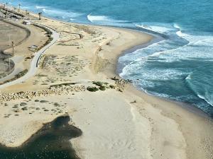
R. Wilborn, www.virtualterraintours.com. Used with permission

Molly McCormick/USGS

7 Steps to Define Your Business Process by Stefano Borghi. Used via CC BY-NC-ND 4.0 DEED, via Google.
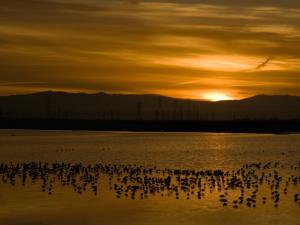
Jill Clardy. CC BY-NC-SA 2.0, https://creativecommons.org/licenses/by-nc-sa/2.0/, via Flickr
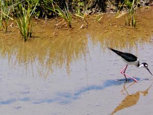
Regular Daddy, own work. CC BY-SA 3.0, http://creativecommons.org/licenses/by-sa/3.0, or GFDL, http://www.gnu.org/copyleft/fdl.html, via Wikimedia Commons

