
Case Studies

This image has been released into the public domain because it contains materials that originally came from the U.S. National Oceanic and Atmospheric Administration. No endorsement by licensor implied.

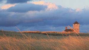
Old Harbor Life-Saving Station, Cape Cod National Seashore, Massachusetts. Photo by JCefaly, CC BY-SA 3.0, https://commons.wikimedia.org/w/index.php?curid=21669809


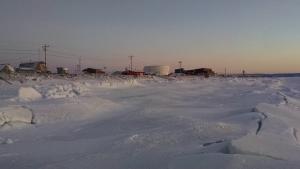
Aerial view of Shaktoolik by Stefan Tangen. Used with permission
U.S. Navy, Machinist Mate 3rd Class Juan Pinalez. Public domain, via Wikimedia Commons
Photo by Vicpeters. CC BY-SA 3.0, http://creativecommons.org/licenses/by-sa/3.0/deed.en, via Wikimedia Commons.
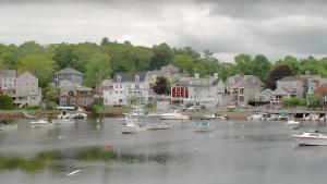
Still image from the video, "Manchester-by-the-Sea, Massachusetts: Water Utility Climate Adaptation Planning" from the U.S. Environmental Protection Agency

Photo attributed to Ebyabe. Incorporated here under a Creative Commons Attribution 2.0 Generic License. No endorsement by licensor implied.
thepipe26, own work. CC-BY-2.0, http://creativecommons.org/licenses/by-sa/2.0/legalcode, via Wikimedia Commons

Beautiful reflections of Boston's Back Bay from the esplanade on October 8, 2013. Photograph by Robbie Shade, CC-BY-2.0, https://creativecommons.org/licenses/by/2.0/, via Flickr


Public domain image from Wikimedia Commons