
Case Studies
Animum, own work. GFDL (http://www.gnu.org/copyleft/fdl.html) or CC-BY-SA-3.0-2.5-2.0-1.0 (http://creativecommons.org/licenses/by-sa/3.0)], via Wikimedia Commons


Tom Burke

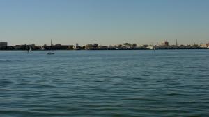
Evening view of Norfolk, Virginia. Public domain image by Joey Sheely

Splash screen from NFWF North Carolina Department of Environmental Quality Case Study.
Jsayre64, own work. CC-BY-SA-3.0, http://creativecommons.org/licenses/by-sa/3.0, via Wikimedia Commons
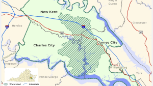
Image provided on NOAA Digital Coast website.

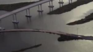
Screen capture from video "Built to Last: Climate Data Ensure Oil Supply Route." Video footage: Kurt Mann
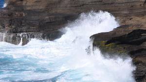
Waves crashing into basaltic rocks formed from lava flows on Hawai'i Island. Courtesy of pxhere.com
Millie Hawley, President, Native Village of Kivalina. Used with permission

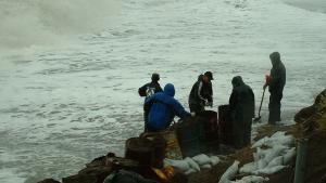
CAKE, Shishmaref Erosion and Relocation Coalition, U.S. Army Corps of Engineers Alaska

This photo has been released into the public domain because it contains materials that originally came from the U.S. Army Corps of Engineers. No endorsement by licensor implied.

This photo has been released into the public domain because it contains materials that originally came from the U.S. National Oceanic and Atmospheric Administration. No endorsement by licensor implied.
