
Case Studies
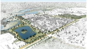
NOAA Office of Coastal Management, via Waggonner & Ball

Photo attributed to Jerry Reid, U.S. Fish and Wildlife Service. This work has been released into the public domain by its author. No endorsement by licensor implied.

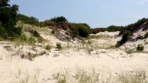
This image is in the public domain, it contains materials that originally came from the U.S. Fish & Wildlife Service. No endorsement by licensor implied.
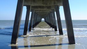
Famartin, own work. CC-BY-SA-3.0, http://creativecommons.org/licenses/by-sa/3.0, via Wikimedia Commons
Splash screen for NFWF Rhode Island Case Study
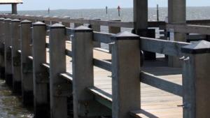
The dock at China Champ, San Rafael, California. By Marthature - Own work, CC BY-SA 4.0.

Photo attributed to Lucasmj. Incorporated here under the Creative Commons Attribution 3.0 Unported license. No endorsement by licensor implied.
Tim Burkitt, FEMA Photo Library. Public domain, via Wikimedia Commons
Mikefairbanks. CC-BY-SA-3.0, http://creativecommons.org/licenses/by-sa/3.0/legalcode, via Wikimedia Commons

Photo by F. A. Johnson, USGS Wetland and Aquatic Research Center. Used with permission. https://www.ecologyandsociety.org/vol25/iss3/art9/


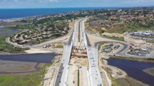
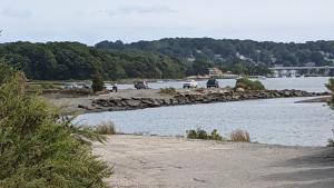
Gleason Beach Realignment Project. For more information, see https://gleasonbeachrealignment.org/
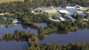
Floodwaters accumulate as the Tar River overflows in Greenville, North Carolina. Photo by Coast Guard Petty Officer 3rd Class Corinne Zilnicki. Public domain