
Case Studies


Photo attributed to www.terraprints.com. Incorporated here under the Creative Commons Attribution 2.5 Generic license. No endorsement by licensor implied.

Photo attributed to Foreign and Commonwealth Office. Incorporated here under the Open Government Licence version 1.0 (OGL v1.0). No endorsement by licensor implied.
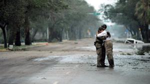
Staff Sgt. James L. Harper Jr., U.S. Air Force photo. Public domain, via Wikimedia Commons
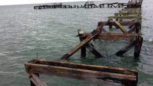
Todd R. Emmerson. CC-BY-SA-3.0, http://creativecommons.org/licenses/by-sa/3.0/legalcode, via Wikimedia Commons


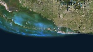
This image has been released into the public domain because it contains materials that originally came from the United States National Aeronautics and Space Administration (NASA). No endorsement by licensor implied.

Photo attributed to Victor-ny. Incorporated here under the Creative Commons Attribution-Share Alike 3.0 Unported license. No endorsement by licensor implied.


Imagery © 2014 Google, Data SIO, NOAA, U.S. Navy, NGA, GEBCO, Map data ©2014 Google
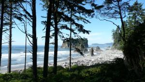
Ruby, Beach, Beach, Washington, Usa, Landscape, ruby, beach, washington, shoreline, free download, cropped. CC0 1.0 Universal (CC0 1.0), https://creativecommons.org/publicdomain/zero/1.0/, via Piqsels. https://www.piqsels.com/en/public-domain-photo-fktnh