Image
Tool
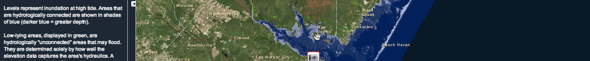
NJ Flood Mapper
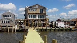
Users can view detailed maps and photos of New Jersey communities as they look today, and compare them to visualizations showing one to six feet of sea level rise.
This visualization tool can help get information about rising sea levels into the hands of local communities who need to make decisions concerning flooding hazards.