Image
Tool
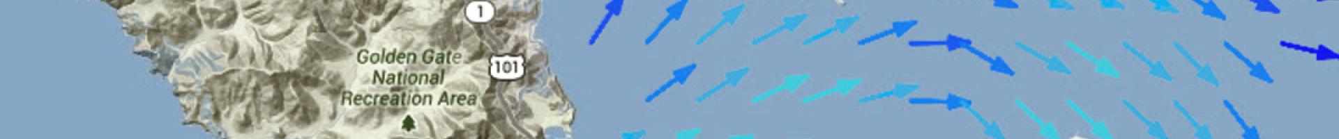
NOAA Tides & Currents
Individuals and businesses in coastal communities can find current and historical data, analyses, and publications on tides, currents, water levels, and other relevant topics to help them assess their local coastal risks. Communities can find
- Tide and water level information, including water levels, tide predictions, sea level trends, extreme water levels, and inundation analysis
- Harmful algal bloom (HAB) forecasts
- Current station data and tables, and historical data
- Port information for 25 different ports across the country
- Meteorological observations
- Water temperature and conductivity data
- Astronomical data
Tides & Currents also features a library of CO-OPS publications, including educational and outreach publications, economic valuations and assessments, and technical reports, and educational materials for teachers and students.