Image
Tool

Great Lakes Coastal Resilience Planning Guide

Description

The Great Lakes Coastal Resilience Planning Guide shows how coastal communities are using science-based information to address coastal hazards such as flooding, shore erosion, and lake-level fluctuations. This online resource connects people with the tools and data needed to consider natural hazards and climate change in local planning efforts.

The planning guide features the following resources:

  • Local stories — Learn what’s happening in Great Lakes communities. Information ranges from news articles to outreach materials.
  • Case studies — Discover specific solutions and tested strategies communities are applying to land use and zoning concerns, habitat and environmental protection issues, and infrastructure planning needs.
  • Maps, Data, and Tools — Access geospatial data, tools, applications, and Web map services available in the region.
  • People and Organizations — Connect with others working to address coastal hazard and climate change impacts in the region.
  • Events and Funding — Identify events and funding sources related to coastal resilience and hazards.
  • Climate and Environment — Learn about the Great Lakes and its coastal hazards and climate.
  • Library — Uncover relevant publications that include legal and regulatory documents, best practices, ordinances, comprehensive plans, and more.

Related Case Studies & Action Plans

Image
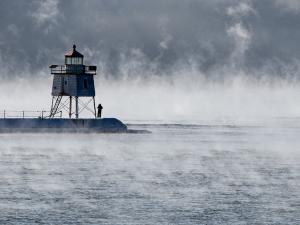
  • The lighthouse at Agate Bay, Two Harbors, Minnesota. By Lorie Shaull, CC BY-SA 2.0, https://creativecommons.org/licenses/by-sa/2.0/, via Wikimedia Commons

  • Image
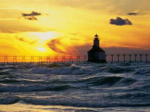
  • St. Joseph's Pierhead Lighthouse at sunset. Photo by Flickr user Chris "Mr. Pants" Landis, CC-BY-2.0 (https://creativecommons.org/licenses/by/2.0/), via Flickr

  • Image
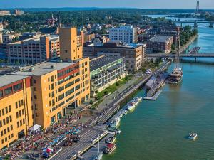
  • Green Bay's CityDeck with the Peacemaker tall ship docked at the Cherry Street boat landing, 2014. By Chris Rand, CC BY-SA 4.0, https://creativecommons.org/licenses/by-sa/4.0), via Wikimedia Commons