Image
Tool
Vdatum
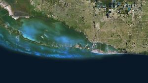
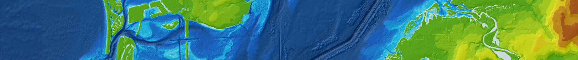
VDatum stands for Vertical Datum Transformation, an innovative and evolving software tool under development by NOAA's National Ocean Service. VDatum's primary purpose is to convert elevation data from various sources into a common reference system.
A common reference system is important because irregularities can occur when maps and charts are created from different data sources. In a coastal area, for example, a shift in elevation on a gently sloping beach may change the overall depiction of the shoreline or results of inundation mapping.
Learn more from NOAA's National Ocean Service.
Details
Assets