Image
Kate Holt/AusAID, CC-BY-2.0, http://creativecommons.org/licenses/by/2.0, via Wikimedia Commons
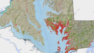
Image
Jesse Allen and Robert Simmon, NASA Earth Observatory. Public domain, via Wikimedia Commons
Image
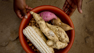
Image
Scott Bauer, USDA Natural Resources Conservation Service. Public Domain, via Wikimedia Commons
Image
Image
Marin Carbon Project
Image