Image
Aerial view of Shaktoolik by Stefan Tangen. Used with permission

Image
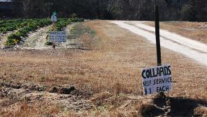
Self-service collard patch near Carthage, North Carolina. Image credit: Donald Lee Pardue. CC BY 2.0 (https://creativecommons.org/licenses/by/2.0/), via Flickr
Image
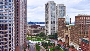
Boston cityscape. Bert Kaufmann, Roermond, Netherlands. CC BY 2.0 (http://creativecommons.org/licenses/by/2.0), via Wikimedia Commons
Image