Skip to main content
Main navigation
Case Studies
Mega Menu Icon
Image
Browse Case Studies
Filtered by hazard
Drought
Extreme Heat
Coastal Flooding
Flooding
Wildfire
Filtered by asset
Agriculture
Community Services
Critical Facilities
Economy
Energy
People
Property
Natural Areas
Transportation
Water Infrastructure
Tools
Mega Menu Icon
Image
Browse Tools
Filtered by hazard
Drought
Extreme Heat
Coastal Flooding
Flooding
Wildfire
Filtered by asset
Agriculture
Community Services
Critical Facilities
Economy
Energy
People
Property
Natural Areas
Transportation
Water Infrastructure
Funding
Mega Menu Icon
Image
Browse Funding & Capacity
Funding & Building Capacity
Search for Funding Opportunities
Grant Development Resources
Steps to Resilience
Overview
Get Started
Understand Exposure
Assess Vulnerability & Risk
Investigate Options
Prioritize & Plan
Take Action
Contents
Mega Menu Icon
Image
Browse Popular Resources
Announcements
Steps to Resilience
Help Desk
Glossary
Contact
Case Studies
Tools
Trainings
Options Database
Organizations
New to the Toolkit?
Topics & Sectors
Regions
Hazards
Assets
Submit
Breadcrumb
Home
Image
Giovanni—Geospatial Interactive Online Visualization and Analysis Infrastructure
Image
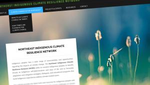
Northeast Indigenous Climate Resilience Network
Image
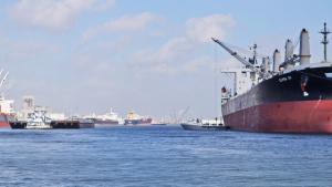
Ports Resilience Index
Image
Tourism Resilience Index
Image
Midwest
Image
Ecological Adaptation
Image
Climate Adaptation for DOD Natural Resource Managers
Image
OceanReports
Image
Building Risk Communication Skills: Questions to Ask and What to Listen For
Image
Coastal Inundation Dashboard
Pagination
First page
« First
Previous page
‹ Previous
…
Page
46
Page
47
Page
48
Page
49
Current page
50
Page
51
Page
52
Page
53
Page
54
…
Next page
Next ›
Last page
Last »
Subscribe to
Image Credits