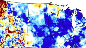

Image

Image
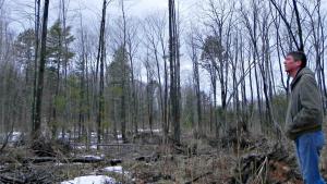
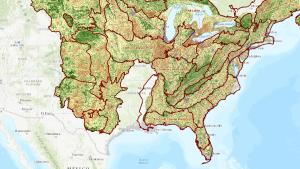
Tony Waupochick, Menominee Tribal Enterprises, surveys an oak wilt site after treatment. Image credit: Climate Change Response Framework (https://forestadaptation.org/adapt/demonstration-projects/menominee-tri…). Used with permission
Image

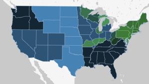
Skyline of Indianapolis, Michigan. Photo by Momoneymoproblemz, CC BY-SA 4.0 (https://creativecommons.org/licenses/by-sa/4.0), via Wikimedia Commons