Home
Main navigation
  • Case Studies
    Mega Menu Icon
    Image
    case study icon
    Browse Case Studies
    • Filtered by hazard
      • Drought
      • Extreme Heat
      • Coastal Flooding
      • Flooding
      • Wildfire
    • Filtered by asset
      • Agriculture
      • Community Services
      • Critical Facilities
      • Economy
      • Energy
      • People
      • Property
      • Natural Areas
      • Transportation
      • Water Infrastructure
  • Tools
    Mega Menu Icon
    Image
    data and tools icon
    Browse Tools
    • Filtered by hazard
      • Drought
      • Extreme Heat
      • Coastal Flooding
      • Flooding
      • Wildfire
    • Filtered by asset
      • Agriculture
      • Community Services
      • Critical Facilities
      • Economy
      • Energy
      • People
      • Property
      • Natural Areas
      • Transportation
      • Water Infrastructure
  • Funding
    Mega Menu Icon
    Image
    funding icon
    Browse Funding & Capacity
    • Funding & Building Capacity
    • Search for Funding Opportunities
    • Grant Development Resources
  • Steps to Resilience
    • Overview
    • Get Started
    • Understand Exposure
    • Assess Vulnerability & Risk
    • Investigate Options
    • Prioritize & Plan
    • Take Action
  • Toolkit Contents
    Mega Menu Icon
    Image
    popular resources icon
    Browse Popular Resources
    • Announcements
    • About this Toolkit
    • Steps to Resilience
    • Glossary
    • Contact
    • Tools
    • Help Desk
    • Trainings
    • Options Database
    • New to the Toolkit?
    • Topics & Sectors
    • Regions
    • Hazards
    • Assets

Breadcrumb

  1. Home
Image
Sandy beach view looking onto the ocean's horizon
How to Consider Climate Change in Coastal Conservation
Image
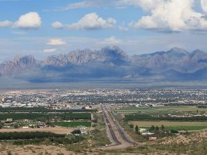
  • View of Las Cruces, New Mexico, backed by the Organ Mountains National Monument. By Jpawela, own work. CC BY-SA 4.0, https://creativecommons.org/licenses/by-sa/4.0, via Wikimedia Commons

  • Catalyzing Investment and Building Capacity in Las Cruces
    Image
  • Si'u Point Trail, Ta'u Island, National Park of American Samoa, Department of the Interior, via Flickr. Used via a Creative Commons license, CC BY-SA 2.0, https://creativecommons.org/licenses/by-sa/2.0/

  • Collaborating for Success: Sustaining Water Supply on a Pacific Island
    Image
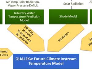
    Models and tools for water quality improvement
    Image
    Hawai'i Social Network Analysis
    Image
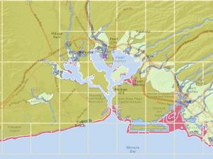
    Hawai'i Flood Hazard Assessment Tool
    Image
    Climate Change Adaptation Planning Manual for Coastal Alaskans and Marine-Dependent Communities
    Image
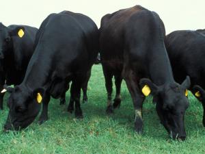
  • Angus cattle on pasture. USDA photo by Scott Bauer. Public domain

  • Starting the Climate Conversation: Using Scenario Planning to Promote Resilience in Beef Production
    Image
    Alaska Arctic Observatory and Knowledge Hub
    Image
    Salmon Science - Stream Temperature Monitoring

    Pagination

    • First page « First
    • Previous page ‹ Previous
    • …
    • Page 44
    • Page 45
    • Page 46
    • Page 47
    • Current page 48
    • Page 49
    • Page 50
    • Page 51
    • Page 52
    • …
    • Next page Next ›
    • Last page Last »
    Subscribe to
    Climate.gov
    • Home
    • News & Features
    • Teaching Climate
    • Maps & Data
    • FAQs
    • Contact
    Main Menu
    • About
    • FAQ
    • Contact
    • Acknowledgments
    • Sitemap
    Latest
    • Funding Opportunities
    • Glossary
    • Announcements
    Partners
    • climate.data.gov
    • climate.gov
    • USA.gov
    • NEMAC
    Toolkit
    • Case Studies
    • Tools
    • Funding
    • Steps to Resilience
    • Popular Resources

    Image removed.

    Required Footer Links
    • NOAA Privacy
    • Accessibility
    • FOIA
    • Information Quality
    • No-FEAR Act
    • Ready.gov
    • USA.gov