Image

Ellen Wagner. CC-BY-NC-ND 2.0, https://creativecommons.org/licenses/by-nc-nd/2.0/, via Flickr
Image
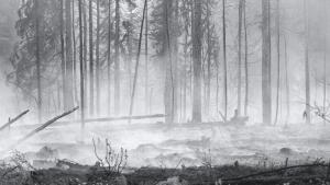
Fire season in Alaska. Photo by JLS Photography - Alaska, CC BY-NC-ND 2.0, https://creativecommons.org/licenses/by-nc-nd/2.0/, via Flickr
Image
Coffee bean texture, by freestock.ca, CC BY-SA 3.0, http://creativecommons.org/licenses/by-sa/3.0, via Wikimedia Commons
Image

Image
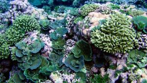
Green and pink reef scene. American Samoa, Swains Island. Image Credit: NOAA Pacific Islands Fisheries Center, Coral Reef Ecosystem Program, Oceanography Team. CC-BY-2.0, https://creativecommons.org/licenses/by/2.0/
Image
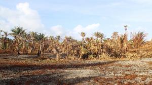
Drought on Ailuk Atoll in 2013, Republic of the Marshall Islands. Unmodified photo by PACC, CC BY-NC-ND 2.0, https://creativecommons.org/licenses/by-nc-nd/2.0/, via Flickr