Image
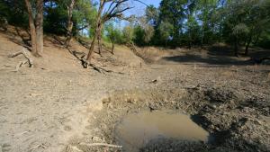
large dry sink, GPS, NAD 27 310050.2 842133.1 Grady County, Georgia, cropped, by Alan Cressler, used with permission, via Flickr. https://www.flickr.com/photos/alan_cressler/1433048454/


Image

By Thester11 - Own work, CC BY 3.0, https://commons.wikimedia.org/w/index.php?curid=7880870
Image
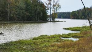
scene Salem Lake ncwetlands KG, cropped, by NC Wetlands, public domain image, via Flickr. https://www.flickr.com/photos/ncwetlands/46127282494
