Image
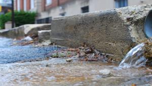
Stormwater flows onto street in Annapolis, Maryland. Photo courtesy of Chesapeake Bay Program (stretched), CC BY-NC 2.0, https://creativecommons.org/licenses/by-nc/2.0/, via Flickr
Image
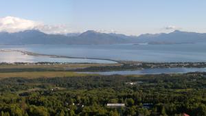
Panorama of the Homer Spit in Homer, Alaska. Photo by Derek Ramsey (Ram-Man), CC BY-SA 2.5, http://creativecommons.org/licenses/by-sa/2.5, via Wikimedia Commons

Image
Image
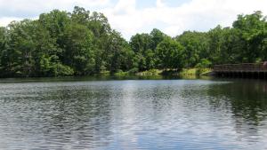
Sebago Lake by TheTurducken (stretched and cropped), CC BY 2.0, https://creativecommons.org/licenses/by/2.0/, via Flickr
Image